News
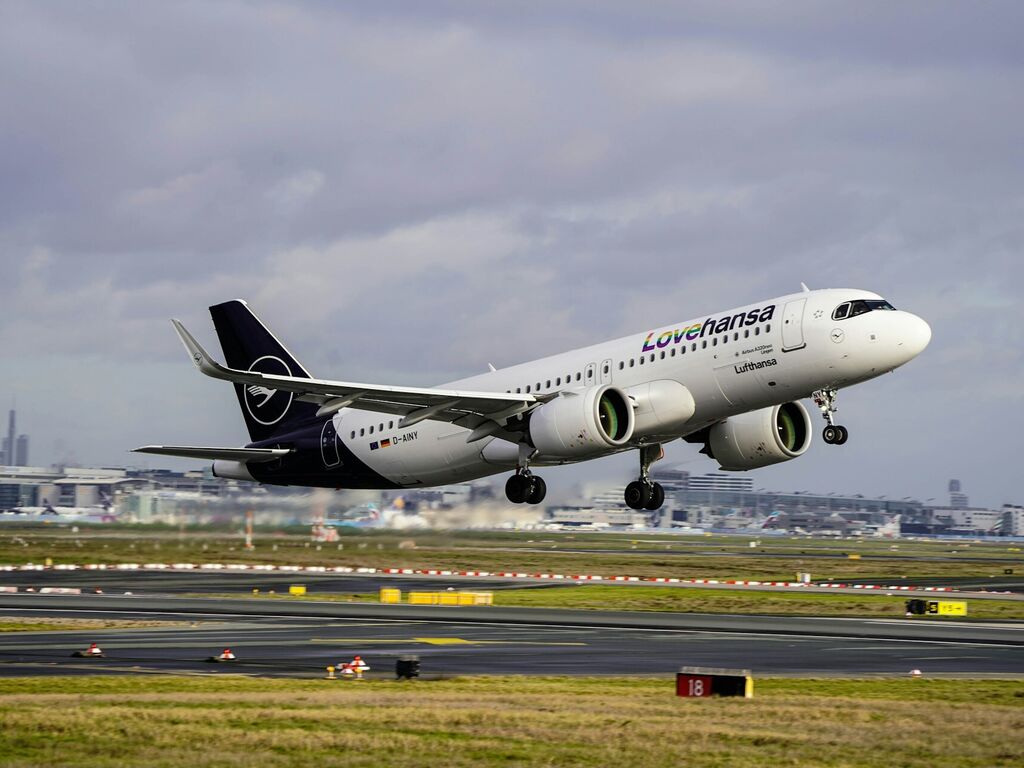

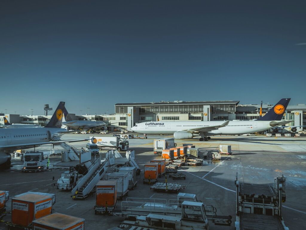
Lufthansa Strike on 12 February 2026 – Passengers Are Entitled to Compensation

EU Court: Airlines must refund booking fees after flight cancellations

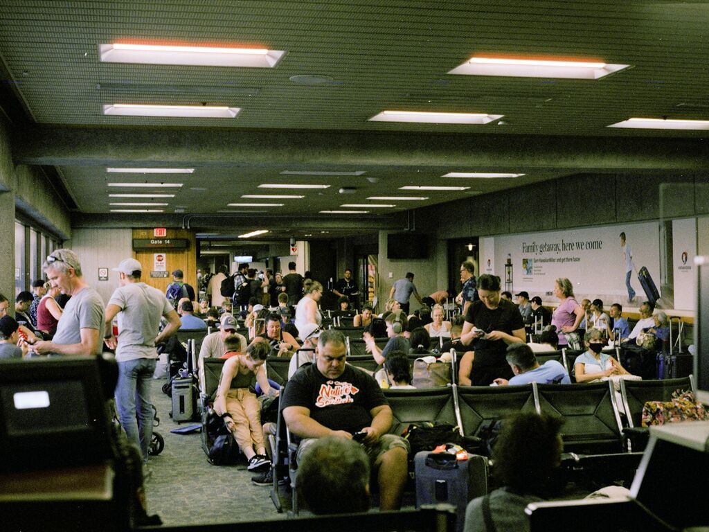
Flights cancelled due to US shutdown – how it affects European travellers

While Brazil Expands Passenger Rights, Europe Moves to Weaken Them
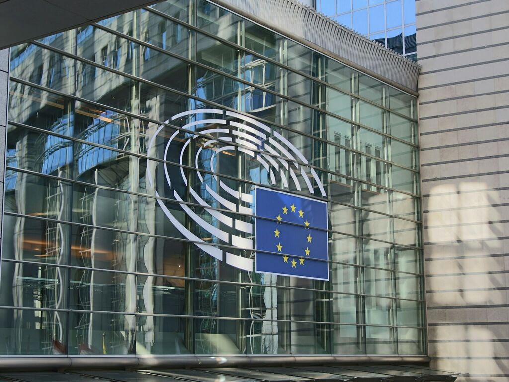
European Parliament and Council Clash Over Air Passenger Rights Reform
Italy Aviation Strike September 2025: What Passengers Need to Know
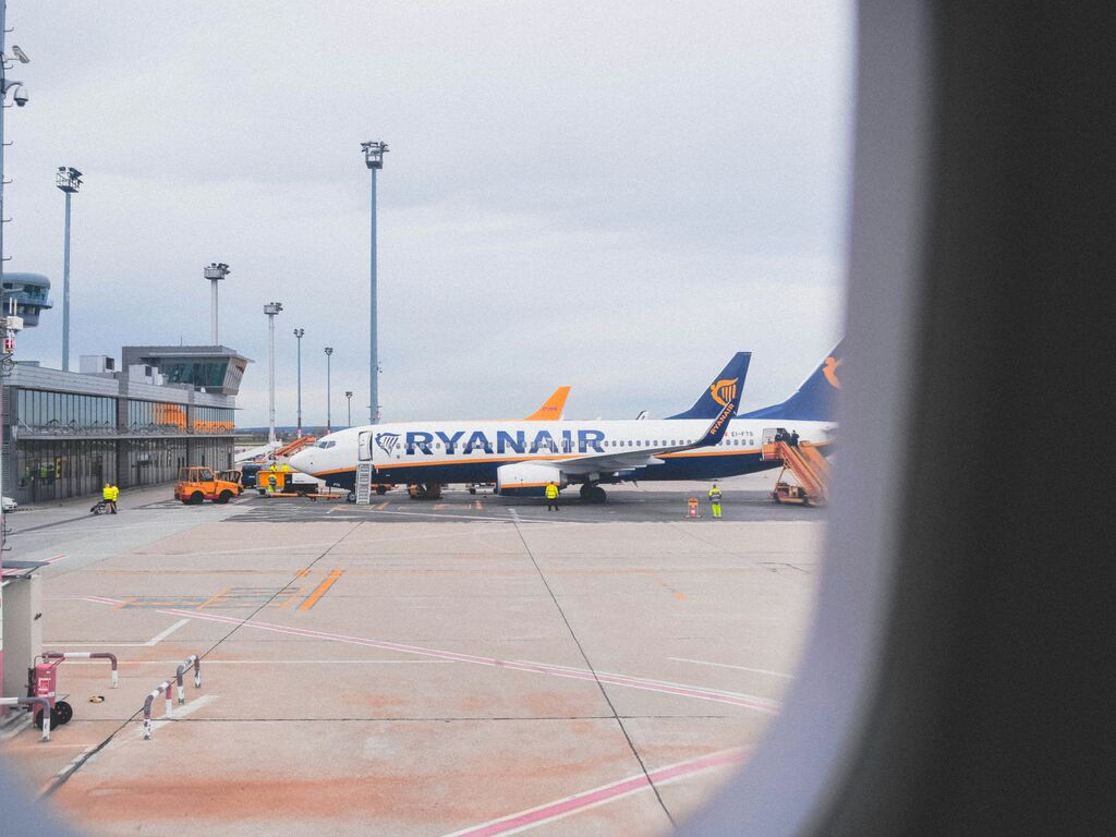
Ryanair Strike (August 15 - 17, 2025): How to claim compensation
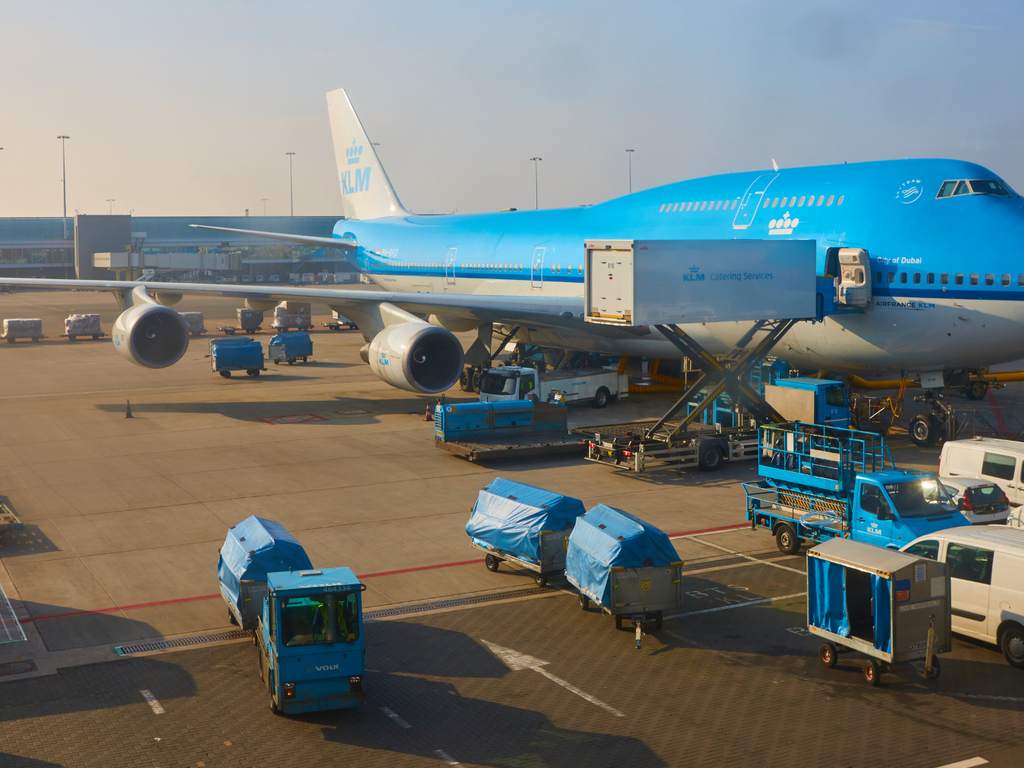
KLM ground staff strike on July 9th 2025
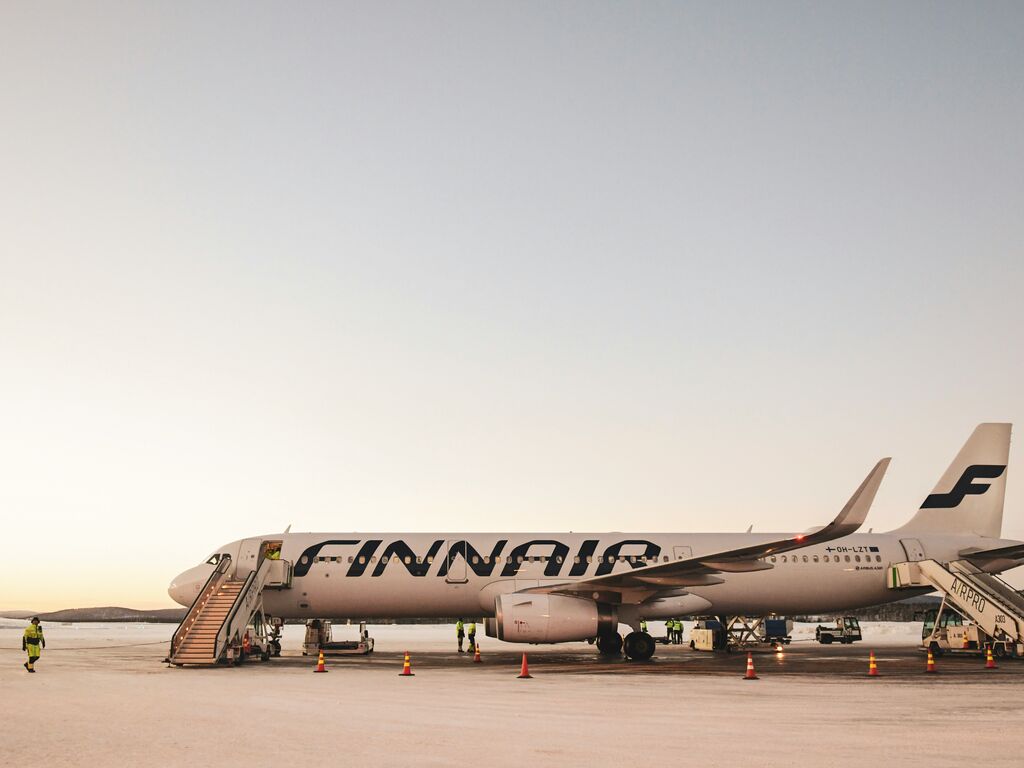
Finnair strike July 2025: claim your compensation!